About
My name is Neil Emeigh. I absolutely love going on adventures and pushing myself to the limits. All the beauty on this planet wasn’t put there to not explore it and witness it, and my goal is to experience as much of it as I can in my lifetime. People call me crazy, nuts, ‘somethin else’, but a lot of those same people wish they had the spontaneity to go on the same adventures that I go on. And maybe I am crazy… who decides to ride a…
No pictures, not much of a post… just rest.
Seth and I decided last night that we would reward ourselves for pushing hard the past two days by staying in Cedar City, UT for the day and night. We rode 22 miles down the mountain we slept on last night, and landed in Cedar City about 10:30am. After checking into our hotel we both ate 5 donuts each at their continental breakfast (can’t wait for that in the morning!), unpacked our things, and then had lunch around noon.
Today has just been a catch-up day so we can start fresh tomorrow morning. The blog posts were getting behind, our chains needed oiled, and we hadn’t rewarded ourselves since the trip started, so we made today our day of rest. In approximately 2-3 days we will hit the Utah/Nevada border!
Total miles biked: 22 miles from Cedar Breaks National Monument (summit) to Cedar City, UT
“One way to get the most out of life is to look upon it as an adventure.” – William Feather
Before writing this post, I want to direct you to Day 16 and Day 17 – I have updated them with pictures and more content for Day 17.
*Delayed post due to no service. May 25th, 2014*
Today we woke up from our tiresome journey of 84 miles yesterday. Our map indicated we had a small mountain to climb right away, then back down it to reach Panguitch, UT which was 32 miles from Cannonville. After Panguitch there was a mountain that rose to 10,300 feet (our second highest peak on the trip thus far). The summit was 4500 feet higher than our location at Panguitch, spanning 36 miles uphill. We had our work cut out for ourselves.
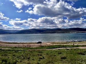
By the time I fixed the flat tire on my bike and ate lunch at Panguitch it was already 2:15. Ordinarily we can get 36 miles on average terrain in under 4 hours, but this was nothing but an unforgiving climb to the top. At 5:15pm we had gone approximately 20 miles and reached Panguitch Lake. There were families out having a fun-filled day on the lake for Memorial Weekend as Seth and I pedaled around the lake knowing we still had a painful climb to do for the evening. We stopped at the last campground available by the lake and made the decision to get to the top of the summit instead of cutting our day short on mileage (at the time, we had only gone roughly 52 miles – which is not enough for our competitive spirits!). The sun was going to set today between 7-8pm, so we had 2ish hours to get to the campground at the top.
The climb was awful. Not only did it get much colder as we got higher (as expected), but the mountain never gave in and dropped for a bit so we could coast – it was simply uphill the entire time. We walked half of it, and biked the other half. As the sun began to lower, we were worried about getting caught up top in a snowstorm because a local told us it had just snowed there the night before. The real pain, for me anyways, was doing this entire climb with no calories to burn. I had eaten a max. of 1500 calories between breakfast and lunch, and since the sun was going down we had no time to stop and eat supper. That meant I was running on those 1500 calories, having burned over 4000 at this point already. I could feel my body getting weaker, and my calfs began shaking when I would push hard up a hill, but we had to keep climbing before the sun ran out.
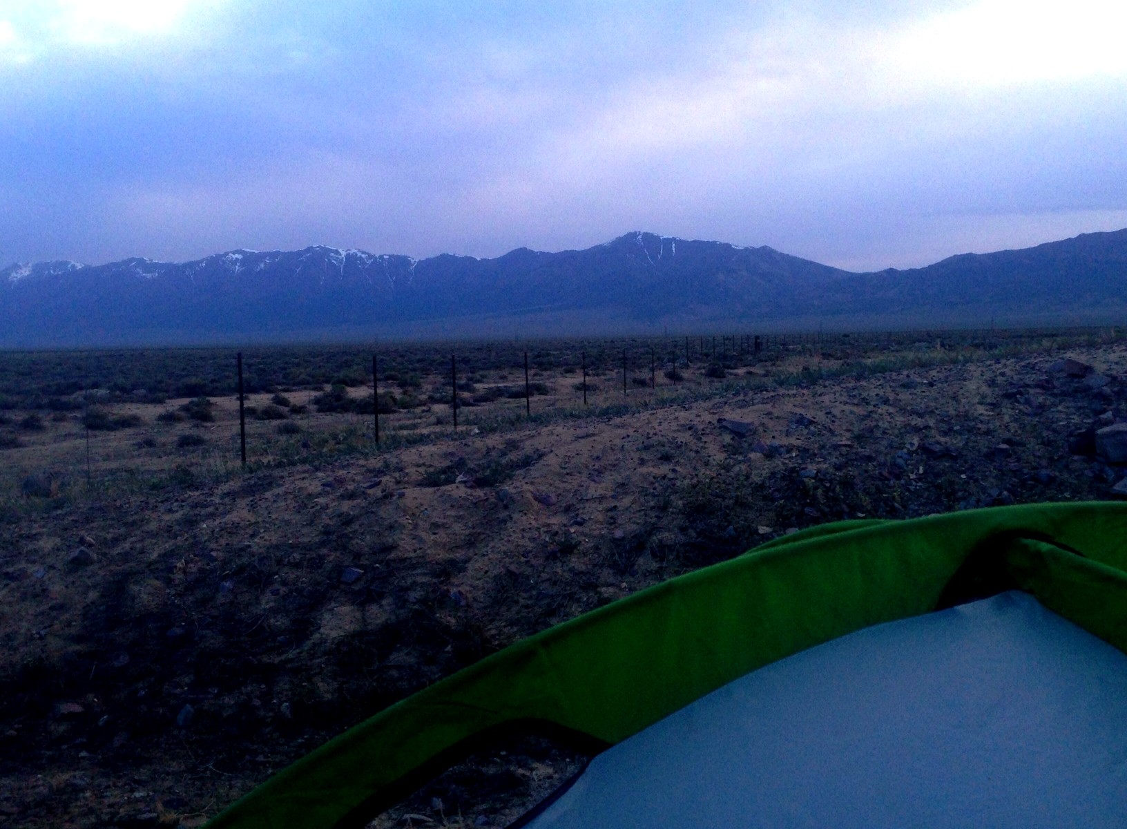
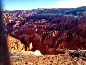
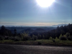
Finally around 7:30pm we reached the summit near Brian Head. The campground we needed to go to was approximately 5 miles up the road. As we got to the campground sign, we find out that it was closed… Onward we went for another half mile and just called it quits on a hiking trail along the road. We walked back into the trees a way and pitched our tent on a canyon cliff (last picture below). The view was beautiful right outside of our tent, but the cold and fatigue from the day put us both to sleep right away. Unfortunately, tonight we will be sleeping on the summit of the mountain.
Total miles biked: 73 miles from Cannonville, UT to Cedar Breaks National Monument (summit)
“It is only in adventure that some people succeed in knowing themselves – in finding themselves.” – Andre Gide
Today was our second longest mile day, and our longest hour day. We started at 7:45am this morning and didn’t pull into our campground until 8pm. There was a break in there for lunch, and then later for supper, but 12 hours on the road really takes a toll on you. Our other option was to stay in a field somewhere, or do another 34 miles for the day and reach a KOA camp – we chose the latter.
There wasn’t anything new and exciting today except for the fact we went from a forest in the mountains, to desert mesas in a matter of miles. I personally considered today one of our toughest (if not the toughest) due to the all the mountains we climbed. It would have been fine minus that extra 34 miles, but that added bit greeted us with a small mountain that our bodies were not ready for. We pushed through it though and have the reward of showering up tonight and sleeping in a campground with water.
This post is very short, but as you can imagine we’re both beyond tired and are ready for bed. Hopefully tomorrow brings a better day!
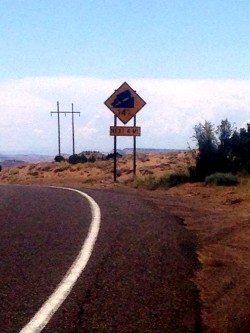
EDIT: Now that I have more energy to think about what happened this day, there WAS plenty of new and exciting things that happened this day! The first one was the fact we hit our steepest grade on the trip — a whopping 14%. I know this number doesn’t make sense to a lot of Nebraskan’s who may be reading this (I know it didn’t to me before this trip!), but 14% is incredibly steep and we had the fortune of riding down it all! It was about a 10 mile journey down the winding roads, and the brakes had to be applied frequently. There was a turn that indicated you should be going 25mph (for cars… we’re on a skimpy bike), and at the time Seth and I were both going faster than that. Well, like the adrenaline junky I like to be sometimes, I only slowed down a little bit…
What a mistake that was. As I leaned into the corner, there was a car coming up the mountain on the other side of the road so I couldn’t use more lane to lean. I went around the corner and quickly discovered it was too sharp for my bike to handle safely, and my brakes were squeaking very loudly because of how hard I was holding them. My handlebars and trailer started wobbling, which is the first sign of an upcoming crash, but just as I thought I was going down, the road straightened out. Let’s just say that my gun-ho attitude with the declines was taken down a notch this day.
The other amusement for this day was that when we reached the KOA campground in Cannonville, we lucked out by being the last tent spot available for the night since it was Memorial Weekend. Since the day kicked my butt so much, I immediately went to the grocery store and picked up a large package of turkey slices and my own loaf of bread. After eating half the loaf, and the entire turkey package, I totaled my protein count to 78g in that one sitting. My legs thoroughly enjoyed that the next day!
Total miles biked: 84 miles from Dixie National Forest Campground to Cannonville, UT
“Life is either a great adventure or nothing.” – Helen Keller
*Delayed post due to no service*
As the title suggests, we had a handful of troubles today. Our first one could have been extremely disastrous, but we lucked out. About 10 miles away from our campground last night in Hanksville, Seth noticed the bike trailer I was pulling had a flat. We pulled over and investigated. Upon looking under the tire at the tube we both thought the entire tire was shredded.
Well, ordinarily this wouldn’t have been an issue, but before we left on this trip we had to downsize a little bit of our cargo and we mistakenly left behind 2 tires that had different valves than our bike tires. At the time we assumed they were just different valve tires and wouldn’t need them, but as we rode on our first day of the trip we realized they were our trailer tires. Now, we knew we had none of the tires for our trailer and we were 50 miles from the next bike shop. As I dialed for the bike shop (which didn’t work), Seth and I decided we would fill the tire with our socks, and if need be, our bread, until we got to that bike shop. So, I dialed the bike shop many times, and Seth began taking off the tire.
To our great relief, the shredding we were both looking at happened to be a tire liner made out of rubber, something we were unaccustomed to. Our tire just happened to have a small hole in it, so we patched it up and were on our way under the perfect overcast for today.
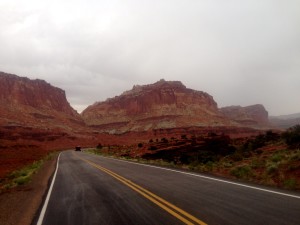
We rode through Capitol Reef National Park, which appeared to be like a ‘desert rainforest’. There were plenty of shrubs, trees, and birds tweeting away as we rode along the canyon walls by a river. As Seth said, “It’s like we’re on another planet”. At this point, the overcast was still thick.
Then came the rain. It was only a light rain at first, but the more we rode, the more it kept picking up. We had to stop at two gas stations along the way to wait out some of the heavier rainfall. Our second gas station was outside the town of Torrey, UT, which was only 12.5 miles from our destination tonight. The decision was made to get to the campground instead of staying in Torrey. On the way up the mountain we encountered light rainfall, but nothing like before. Surprisingly, this mountain had luscious green trees and shrubbery all around – it felt like Colorado, not Utah! We finally made it to the Dixie National Forest Campground where we’ll be freezing in our tent for the night.
Total miles biked: 60.5 from Hanksville, UT to Dixie National Forest Campground (UT)
“The very basic core of a man’s living spirit is his passion for adventure.” – Christopher McCandless
Woke up in a dry field of rocks with half of a bottle of water each – splendid morning. We did have an awesome sunrise coming over the mesas in the distance though, so that made matters better. As we rode down some hills this morning to get to the recreation area at Lake Powell (10 miles away), the air was cool and the sun lit up all the red rocks around us, making it a wonderful ride to our next water source for the next 54 miles.
This is one of those ‘however’ moments though… we collectively decided to bypass the recreation area because it was 2.2 miles off route (4.4 total miles wasted), and it looked downhill. In our trailer we have a water filtering system that we planned on using on the lake when we got closer, or even in the Colorado River which poured into that lake. Well, we arrived at the bridge for the Colorado River and there were sheer rock cliffs that were 100’s of feet tall – there was no chance we were getting down to that water. Looking at our map, the next water source around this lake was a smaller river, so we pedaled (with no water left at this point) to that river… and once again, sheer rock faces. Another look at the map revealed there was a ‘North Wash’ that followed our highway away from the lake for a few miles, but our hopes were slim on that actually having water in it. At this point, we were both a bit apprehensive about our water situation. The next water source of any kind (which happened to be a town) was 54 miles away. There was absolutely no way we would make it there with no water left in our bottles.
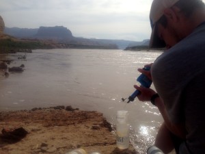
Then, fortune finally came our way. We saw some trucks parked closer to the banks of the Colorado River further along the highway, so we found that path and walked down to the river with our filtration system. Filtering the water is a painfully slow process, but after about 45 minutes we had 4 of our 6 water bottles filled, had drank a few bottles during this process, and filled our 140oz water pack with Colorado River water (which we would filter later, if need be). I was very impressed with how well the filtered water tasted, and looked!
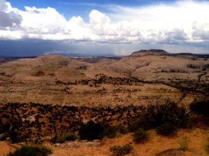
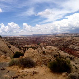
Our worry for the day was over, and all we had to do was get out of this canyon. Riding along, we encountered some gigantic canyon walls painted in vibrant reds and browns which made the trip that much more enjoyable. We found a rest area about 20 miles up the road (just bathrooms, no water of course) which we planned on taking a nap during the heat of the day, but as we sat there for awhile we realized there was a great overcast coming in, along with a nice breeze. So, we decided to march on to the next destination – Hanskville, UT.
We arrived at Hanksville around 3:00pm, but we were both gassed. There was a local burger shack that we stuffed our faces with, along with some homemade shakes that were fantastic! Finally, we got some groceries and set up tent for the night.
After counting up the total miles biked so far, I’m proud to say that we have rode a total of 985.3 miles so far, which is 20 miles shy of being half way. Which means, 985.3 / 15 days = 65.69 miles a day on average! And… even more exciting math tells us that at our current rate of travel we will be in San Francisco in 16 days! This is just tentatively of course, we don’t expect to really get there that soon, but everything has been bliss thus far, there’s a possibility we might.
Total miles traveled over the past two days: 146 miles from Monticello, UT to Hanksville, UT (73 miles/day avg.)
“We live in a wonderful world that is full of beauty, charm and adventure. There is no end to the adventures that we can have if only we seek them with our eyes open.” – Jawaharlal Nehru
 Life's A Journey, Go Travel It